
Bonita Springs Canal & Water Guide: The Imperial River
Bonita is a river city before it's a canal city, and where your dock sits along the Imperial River shapes the boat, the lift and the structure more than anything about the lot.
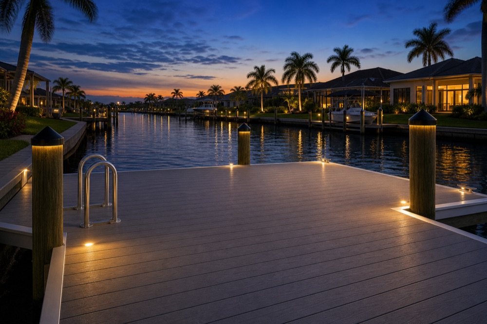
- The spine
- The Imperial River, roughly nine miles, through downtown
- Where it goes
- Fish Trap Bay, at the south end of Estero Bay
- The bridge that matters
- A fixed US 41 highway bridge over the river
- Getting to the Gulf
- More than one pass, which one depends on conditions
- The design driver
- River position matters more here than the word canal
Key takeaways
- Bonita's water is a river system, not a dredged canal grid, the Imperial River runs roughly nine miles through downtown and empties into Fish Trap Bay at the south end of Estero Bay.
- Where you sit along the river matters more than the word canal. Upriver and near the mouth are genuinely different conditions.
- A fixed highway bridge carries US 41 over the Imperial River, and it sets a real ceiling on how tall a boat can move past that point.
- More than one pass reaches open Gulf water from Estero Bay. Which one you'd use depends on where you're headed and how the sandbars sit.
- Depth is a measurement, not a figure to look up. What sizes a lift and sets a dock's reach is the water at your own slip at the bottom of the tide.
Most Bonita Springs dock conversations start with the word “canal.” It is usually the wrong word.
Bonita is a river city. The water that organizes this place is the Imperial River, and the interior neighborhoods that boat here mostly sit on the river itself or on canals cut off it, not on a dredged grid the way Naples or Marco Island were laid out. That difference is not academic. It changes which questions matter when you are planning a dock, sizing a lift, or deciding what boat to buy.
What’s the shape of the water here?
One river, one bay it empties into, and one much larger estuary beyond that.
The Imperial River runs roughly nine miles. Its headwaters are east of I-75 near the Flint Pen Strand, it is fed by Kehl Canal, it passes through downtown Bonita Springs, and it empties at the north end of Fish Trap Bay.
Fish Trap Bay is where the river meets Estero Bay, the shared regional estuary that Bonita Springs, the Town of Estero and Fort Myers Beach all sit on. Estero Bay carries a state aquatic preserve designation, and it is part of the Great Calusa Blueway paddling trail system, which is why you see as many kayaks as center consoles on a nice morning.
North along the coast, Little Hickory Bay and Big Hickory Pass are the named waters people mean when they talk about the Bonita Beach side.
Why does “where on the river” matter more than “which canal”?
Because a river changes character along its length, and a dredged canal grid mostly doesn’t.
Upriver, past downtown, the water is narrower and more enclosed, less open water for wind to work across, more overhanging bank, and a river that behaves like a river after heavy inland rain. Toward the mouth, at the Fish Trap Bay end, you are effectively on the edge of a bay system: more open water ahead of you, more wind fetch, more chop on a breezy afternoon, and a different set of loads working on hardware, fenders and lines.
Two Bonita docks a few minutes apart by boat can genuinely need different specifications, and the reason is position on the river rather than anything about the properties. Canal fetch and waves explains the mechanism; it applies to river frontage just as directly.
The same logic drives the fixed-versus-floating decision and how far out a structure needs to reach, which is set by depth and by the limits on how much of a waterway a residential dock may occupy. How much of the waterway your dock can take up covers that envelope.
How do you actually get to the Gulf?
Down the river to Fish Trap Bay and out into Estero Bay. After that, the honest answer is: it depends, and anyone who gives you one fixed route is oversimplifying.
More than one pass reaches open Gulf water from this system, and which one a boater uses depends on where they are going and how the sandbars have moved recently. New Pass, Big Hickory Pass and Wiggins Pass are all real passes along this stretch of coast. None of them is “the” Bonita route, and we are not going to pretend otherwise on a website.
What settles it is a current chart, a look at conditions on the day, and local knowledge, the kind you get from the people who run that water every week.
What about the bridge?
This is the one piece of geography worth knowing before you buy a boat.
A fixed highway bridge carries US 41 over the Imperial River. Fixed means it does not open, which means it sets a real ceiling on how tall a boat can move between the upriver stretch and the open bay. If your dock is above that bridge, your air draft is part of the purchase decision, not a detail to sort out later.
You will see the clearance commonly cited at around nine feet, and we would treat that as a starting point rather than a specification. Confirm the current figure yourself, and measure whatever sits highest on your own boat before you assume a hardtop, tower or antenna clears. Getting that wrong is expensive in a way that nothing else on this page is.
What does all this mean for the structure?
Four practical consequences.
- Exposure sets the framing. Open water in front of you means more load, which means piling layout and connections get specified for it rather than by habit.
- Low-water depth at the slip sets the lift. Shallow water is not a veto; it changes which setup makes sense. Lift configurations built for thin water covers the options.
- Air draft sets the boat, if you are upriver of the bridge.
- Tide movement sets the details: ladder length, line runs, where a lift needs to sit to be usable rather than merely functional.
★ One navigation note, kept to a clause because another page owns it: back-bay water here runs shallow outside the marked channels, and the sandbars move, which shapes what boat actually suits this water, and therefore what you are building for. Our Bonita Springs boating access guide covers what that means at low tide, along with launching and running here.
What we don’t do
Two things come up constantly on river frontage, and on both the answer starts with somebody other than us.
Dredging is not our trade. When a slip has filled in and the fix is taking material out of the bottom, that is a separate contractor and a separate approval path. The dredging question, answered properly covers what it involves.
Neither is mangrove trimming. Parts of this shoreline are mangrove-lined, mangroves are protected, and cutting them is regulated work with real penalties attached. We will not quietly draw a dock that depends on it happening. Florida’s mangrove rules for homeowners set out what is actually allowed, and our Bonita Springs seawall and shoreline guide covers the full range of bank types here.
Who looks after the water itself varies too: city, county, district or private, depending on the stretch. Working out who is responsible for a given waterway is where that starts.
The practical version
Three things to know before you design anything on Bonita water:
- Your position on the river: upstream, downtown, or out toward Fish Trap Bay, and how much open water lies ahead of the dock.
- How much water is under your slip at dead low, measured on site rather than guessed at.
- Whether the US 41 bridge stands between you and the bay, and what that does to the boat you want.
Arrive with those three and the design talk gets specific fast. Or let us take the measurements ourselves: free on-site visit anywhere on Bonita Springs water. (239) 397-3400.
The rest of our Bonita Springs library: permits, water, storms, and what we actually see on these docks.