
Boating From Marco Island: Passes, Bridges & Getting Out
Every trip off this island crosses water the city itself will not put a number on. That is not a problem to solve once. It is the way you plan every run from here.
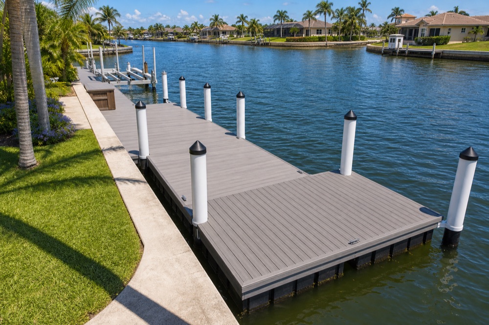
- The way out
- Caxambas Pass, Big Marco Pass and Capri Pass to the Gulf of Mexico
- Overhead
- Fourteen bridges over interior waters, the city disclaims its own clearance figures
- Speed
- Idle Speed / No Wake in all interior waterways, canals and bays
- Markers
- Red triangles and green squares, on red, right, returning
- Before you trailer
- Confirm current ramp hours, fees and parking with the authority itself
Key takeaways
- The water leads out through three named passes: Caxambas Pass, Big Marco Pass and Capri Pass, into the Gulf of Mexico, with the Ten Thousand Islands beyond.
- The City of Marco Island publishes a Bridge Clearance Survey Report covering fourteen bridges over the island's interior waters, and explicitly disclaims responsibility for the accuracy of those clearances, telling boaters to use it as a guide only.
- That disclaimer is the whole planning problem here: unlike a mainland canal city, every trip off Marco crosses water nobody will certify a number for, so you plan around variability rather than a spec sheet.
- Idle Speed / No Wake applies to every interior waterway, canal and bay on the island. Idle speed means the minimum speed required to maintain steerage, not a comfortable slow cruise.
- Channels use the standard red triangular and green square markers on the red, right, returning convention.
On most Southwest Florida canals, “access” is a question about distance: how long to open water, which pass, how much fuel. On Marco Island it is a question about clearance, and about who will vouch for it.
Here is the thing that makes this island different from a mainland canal city, and it is not a small thing: the City of Marco Island publishes a survey of the clearances over its own interior waters, and then tells boaters not to rely on the numbers in it. That is unusually candid publishing. It is also an instruction. Every trip off this island crosses water that nobody has put a certified number on, so the planning method here has to be different from anywhere you have boated before.
Where does the water actually go?
Out through three passes, after crossing a system of bays and interior waterways.
The names you will hear are the Big Marco River, the Marco River, and the Marco River Inlet; the bays: Clam Bay, Roberts Bay, Smokehouse Bay, Collier Bay and Factory Bay; and two interior waterways with names of their own, the Shenandoah Waterway and the Goldenrod Waterway. The way to the Gulf of Mexico is through Caxambas Pass, Big Marco Pass and Capri Pass, with the Ten Thousand Islands beyond.
We will not tell you which pass is yours or how long the run takes. That depends on where your slip is, what stands between it and open water, and where you are actually headed, and a running time published on a contractor’s website is worth nothing on a day with wind in it.
Why can nobody hand you a spec sheet for the route?
Because the authority closest to the water declined to certify one, and it said so in writing.
The city’s Bridge Clearance Survey Report covers fourteen bridges over the island’s interior waters, and it explicitly disclaims responsibility for the accuracy of the horizontal and vertical clearances it lists, directing boaters to treat it as a guide only. Read that as the city being honest rather than unhelpful. Clearances at fixed spans move with the water under them, structures get resurfaced, and a survey is a snapshot.
How you actually pin down a given crossing is a job of its own, and the Marco Island canal and water guide walks through it properly, including how much it constrains the boat you can keep in the first place. This page starts a step later, from the boat you already own, and the question is different: what do you do with a route that will never resolve into a number?
You plan with margin in it, and you plan it more than once.
On a mainland canal system you look the route up, learn it, and stop thinking about it. Marco does not offer that. The trip that works on a calm morning at the top of the tide is not automatically the trip that works at four in the afternoon with the boat loaded and a chop running, so the habit worth building is deciding before you leave which crossings you would take on the day you are actually having, and which you would not.
Two things follow. Keep a second way out for the destinations you use often, so a marginal day changes the route rather than the plan. And treat any change to the boat, a taller tower, a hardtop, a new antenna, as a reason to run the question again. The people who get caught here are rarely the ones who checked and got it wrong. They are the ones who checked once, years ago, on a different boat.
How do you actually run the island once you leave the slip?
Slowly, by rule, and further than most visitors expect.
Idle Speed / No Wake applies to all of the island’s interior waterways, canals and bays. All of them. Idle speed is defined as the minimum speed required to maintain steerage, the least throttle that still lets you steer the boat. That is a genuinely different experience from a mainland canal system where the no-wake zones are islands inside a faster network. Here the quiet is the default and the open water is the exception.
The rest of the local rulebook is conventional and short:
- Channels are marked with red triangular and green square markers on the standard red, right, returning convention.
- Anchoring or mooring in a way that interferes with navigation is prohibited, and so is mooring to or damaging a navigational marker.
- Discharge of untreated sewage is prohibited in Florida waters. Pump-out facilities are available locally.
- On wildlife, including manatees: check FWC for current guidance, and idle carefully regardless. We would rather be brief and right than thorough and wrong.
Exposure changes as you go, too. An interior canal behind the crossings is a quiet, short-fetch environment; frontage nearer the river or one of the passes gives the wind a much longer run at you before it arrives. Canal fetch and waves explains why that matters to the boat and to the structure it sits on.
What about trailering and launching here?
Possible, and rarely the long-term answer for someone who owns water.
We do not publish ramp lists, hours, fees or parking rules, because those are precisely the details that go stale and strand somebody at seven in the morning. Confirm what is currently available, and on what terms, with the authority itself before you hitch up, the City of Marco Island inside the city limits, Collier County for county facilities.
The island-specific part is worth planning around: a trailer trip to or from the mainland is also a bridge trip. Marco reaches the mainland by car over the Jolley Bridge to the north and the Goodland Bridge to the east, and both carry the whole island’s traffic. On a holiday weekend that is the trip, not the launching.
Which is why the honest close on a page like this is the same one we would give a neighbor: if you own the water, the boat should live at the house. A lift at your own dock ends the ramp conversation, ends the trailer storage question, and turns a two-hour production into ten minutes. The Marco Island boat lift guide covers how the route you just verified feeds into the boat you can keep and the lift that holds it.
What is the practical version?
Four things, settled once, and re-checked when anything changes:
- Know every crossing between your slip and open water, not just the first one, and know which of them you would decline on a bad day.
- Know which pass you would use for the trips you actually make, and have a second option.
- Know your exposure: how much open water sits in front of your address and where the wind comes from.
- Keep the boat where you launch it. Everything above is easier when the trip starts at the seawall.
If you are working out what your stretch of Marco water will support, the route, the slip, the lift, or all three. We will come look at it. Free on-site estimate anywhere on Marco Island. On the water since 2008, licensed and insured. Call (239) 397-3400.
The rest of our Marco Island library: permits, water, storms, and what we actually see on these docks.