
Naples Canal & Water Guide for Dock Owners
Naples Bay, Gordon Pass, the Doctors Pass bays and the canals off them: how the water you're on shapes the dock you should build on it.
- The two Gulf inlets
- Gordon Pass at the south end, Doctors Pass to the north
- The central water
- Naples Bay, fed by the Gordon River from the north
- The northern bays
- Moorings, Venetian, Inner and Outer Doctors, Bowline, Hurricane Harbor
- What it means for you
- Exposure and tide movement vary a lot across short distances
Key takeaways
- Naples has two Gulf inlets and they aren't interchangeable: Gordon Pass at the south end, Doctors Pass to the north.
- Doctors Pass is narrower and shallower than Gordon Pass, a real distinction for anyone choosing where to keep a boat.
- Naples Bay is the central water; the Gordon River comes into its north end and Haldeman Creek meets it on the east side.
- Exposure changes over short distances here. Two docks a few streets apart can face genuinely different conditions.
- Depth at your slip at low tide is a measurement, not an impression, and it drives more design decisions than anything else.
Most Naples dock conversations start with the house. They should probably start with the water.
The dock you can build, the lift that makes sense, and how hard the whole assembly works over its life are set more by which piece of Naples water you’re on than by anything about the property above it. And “Naples water” covers a lot of genuinely different conditions in a fairly small area.
What’s the shape of the system?
Two inlets, one central bay, and two distinct networks hanging off them.
Gordon Pass sits at the southern end and is the primary inlet connecting Naples Bay to the Gulf. It’s the main deep-water entrance and the route the southern canals and Port Royal use to reach open water.
Naples Bay is the central estuary, the water the city is built around. The Gordon River flows into its northern end. On the east side, Haldeman Creek meets the bay at the southern edge of Royal Harbor, whose shoreline runs from the Gordon River down to the creek.
Doctors Pass, to the north, is a separate story. It’s a rock-jettied inlet running between the Moorings and Park Shore, and it connects a whole system of northern bays to the Gulf: Moorings Bay, Venetian Bay, Inner and Outer Doctors Bay, Bowline Bay, and Hurricane Harbor.
★ The two passes are not interchangeable. Doctors Pass is narrower and shallower than Gordon Pass, a distinction that matters a great deal if you’re choosing where to keep a boat, and one that owners on the northern bays should understand before buying something with real draft.
South of Port Royal the pattern continues down the coast, and north of the city the Cocohatchee system runs out through Wiggins Pass.
Why does exposure vary so much?
Because “canal” describes several different things here.
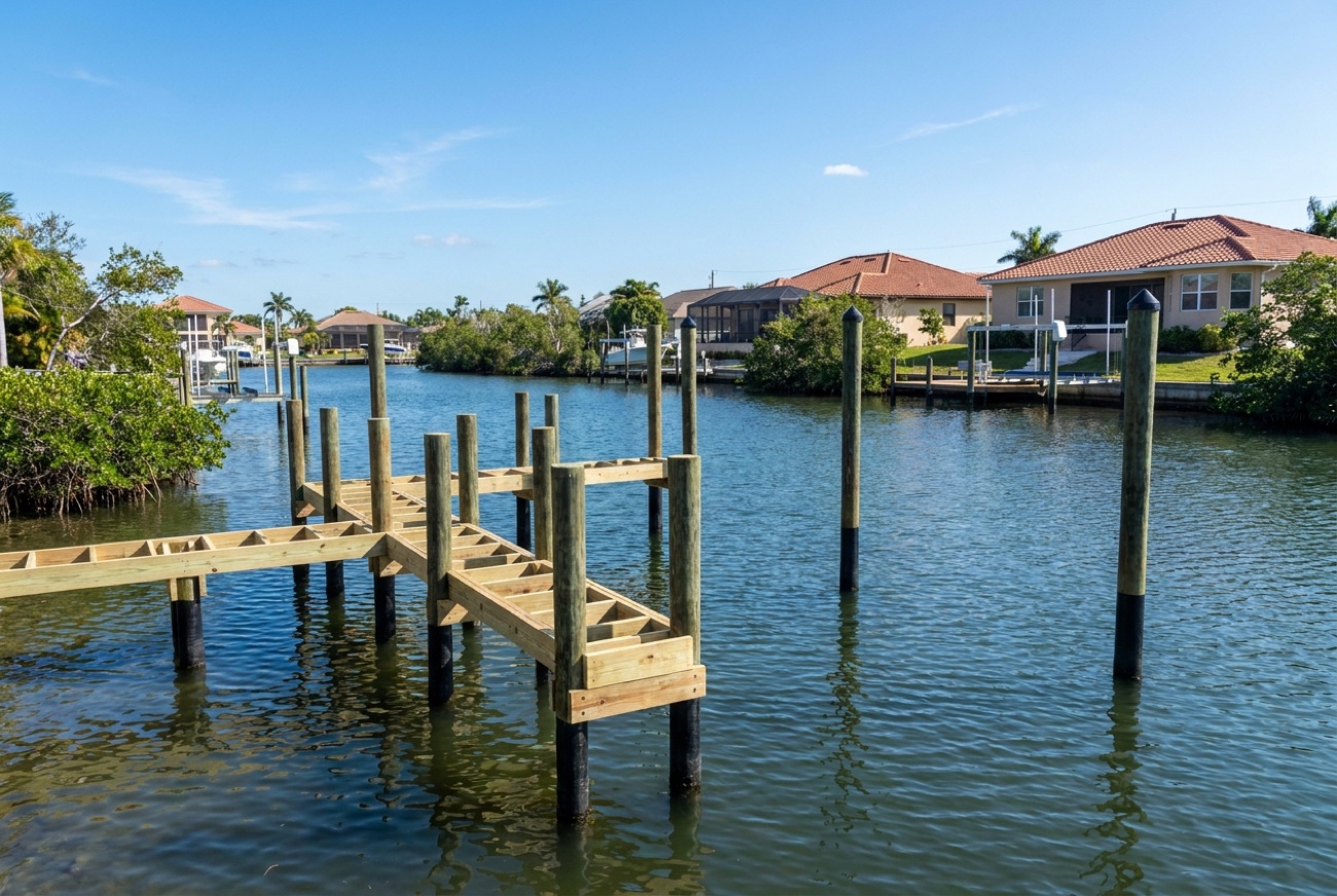
A short finger canal off Naples Bay is a sheltered environment: limited fetch, small chop, mostly wake from passing boats. A dock on the open edge of one of the northern bays is in a different world: wind gets a long run at the water before it reaches you, and that builds real chop that works on hardware, cables, and fenders every windy afternoon.
Fetch, the distance of open water the wind crosses before it hits you: is the concept that ties this together, and it’s the most useful single thing an owner can understand about their own address. We cover it properly in canal fetch and waves.
This is why two Naples docks a few streets apart can genuinely need different specifications. It isn’t upselling; it’s the water.
What does that mean for your dock?
Four practical consequences.
Fixed or floating. Exposure and tide movement both feed this decision. A floating dock behaves very differently in chop than a fixed structure does, and there are canals here where each is clearly the right answer. Fixed versus floating in a shallow canal works through it.
Piling count and spacing. More exposure means more load, which means the framing and the pilings supporting it get specified accordingly. How many pilings for your dock size covers the logic.
How far out you need to go. This is driven by depth, not preference. You build to where the water is deep enough to keep a boat at the bottom of the tide. Every jurisdiction limits how much of the waterway a residential dock can occupy, so depth and those limits together define the envelope you’re designing inside. How much of the canal your dock can take up covers the concept.
Lift configuration. Depth at the slip at low water, plus tide swing, drives this more than boat size does. Boat lifts in shallow water at low tide covers the configurations that handle it.
What about depth: can’t you just tell me?
No, and we’d be suspicious of anyone who does.
Depths in the Naples system vary by location and change over time. A number on a website, applied to your slip, is how a lift gets specified for a condition that doesn’t exist at your address. What matters is the depth where your boat will sit, at the bottom of the tide, and that’s a measurement someone takes, not a figure you look up.
We take it on the site visit. It’s fifteen minutes and it prevents the most expensive category of mistake in this business.
What about mangroves?
They’re a genuine feature of parts of this shoreline, and they’re protected.
Building a dock through or past mangroves is a specific regulated process, not a normal dock project. The rules about trimming and altering them are strict, and the penalties for getting it wrong are real. Two things worth being clear about:
We don’t trim mangroves. It isn’t a service we offer, and we won’t quietly design something that depends on it happening.
We won’t design around them dishonestly. If mangroves shape what’s possible on your shoreline, you’ll hear that in the first conversation.
Building a dock through mangroves and Florida mangrove trimming rules for homeowners cover what’s actually involved.
What about dredging and canal maintenance?
Two things owners routinely ask us, and the honest answer to both starts with “not us.”
We don’t dredge. If your slip has shoaled in and the answer is removing material, that’s a different trade and a different permitting path. Should I dredge my boat slip or canal covers what’s involved and who does it.
Canal maintenance responsibility varies. City, county, special district, private. It depends on the waterway, and it isn’t always obvious. That distinction matters when the question is debris, shoaling, or who’s responsible for a problem in the water rather than on your land. Who maintains canals in Southwest Florida covers how to find out for your address.
The practical version
If you’re planning a dock or a lift on Naples water, the three things worth knowing before you design anything:
- How much open water is in front of you, and from which direction the wind gets at it.
- The depth at your slip at the bottom of the tide: measured, not estimated.
- Which pass you actually use, and whether your boat suits it.
Bring those and the design conversation gets short and accurate. Or let us come take the measurements: free on-site visit anywhere on Naples water. (239) 397-3400.
The rest of our Naples library: permits, water, storms, and what we actually see on these docks.